Competitive landscape within a Catchment area
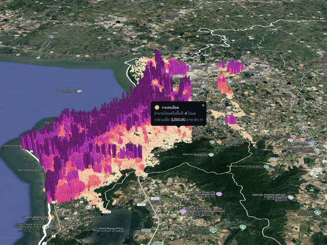
Bring players, demand, activity, and access into the same area frame to see where competition clusters and which context deserves a closer look.
Map competitionCity Data + AI ecosystem from Thailand
See the city clearlyShape a more liveable tomorrow for everyone
Landometer turns scattered city data into clear pictures, actionable insight, and tools for decisions about land, location, and urban life.
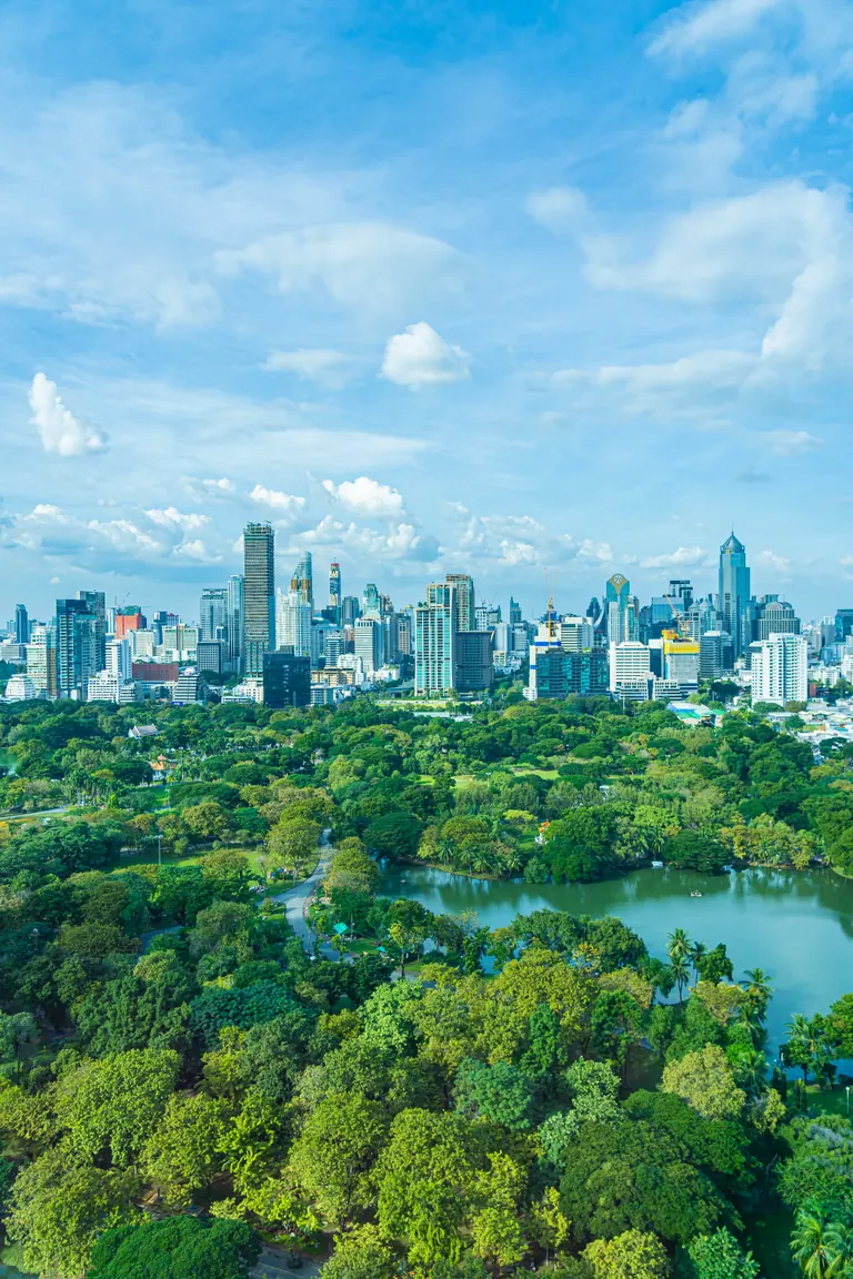
LAND
Bring portfolios, parcels, buildings, and infrastructure into one view so decisions can begin with what is actually there.
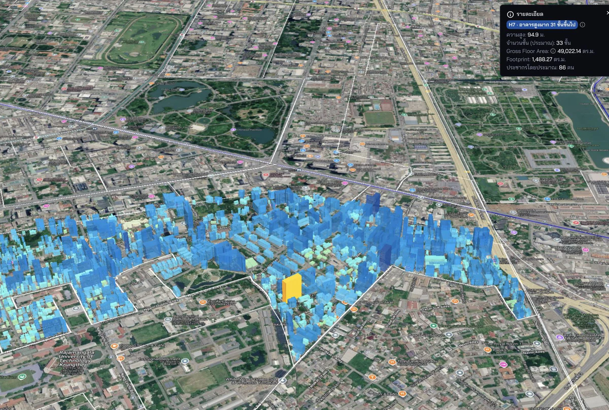

LOCATION
Connect business, movement, people, and risk to real locations to reveal both the opportunity and the context around it.
LIVING
Data gains meaning when it connects back to people, services, wellbeing, and the everyday experience of using a city.
Location intelligence · Questions that move work forward
Location data helps a team see one market as a shared picture — where competition is concentrated, where space may remain, and which local conditions may shape each branch differently.
Use the previous and next buttons, or the left and right arrow keys, to browse. The cards repeat after either end.
Bring players, demand, activity, and access into the same area frame to see where competition clusters and which context deserves a closer look.
Map competition
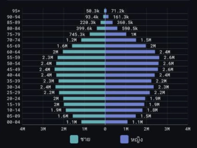
Estimate how many people move through or use an area, then use city-data signals to distinguish likely spending patterns across groups — showing where demand may be present, who it may come from, and what deserves field validation.
Test local demand
Find candidate areas worth testing, then compare opportunity, constraints, and fit with the brief before going into the field.
Find white space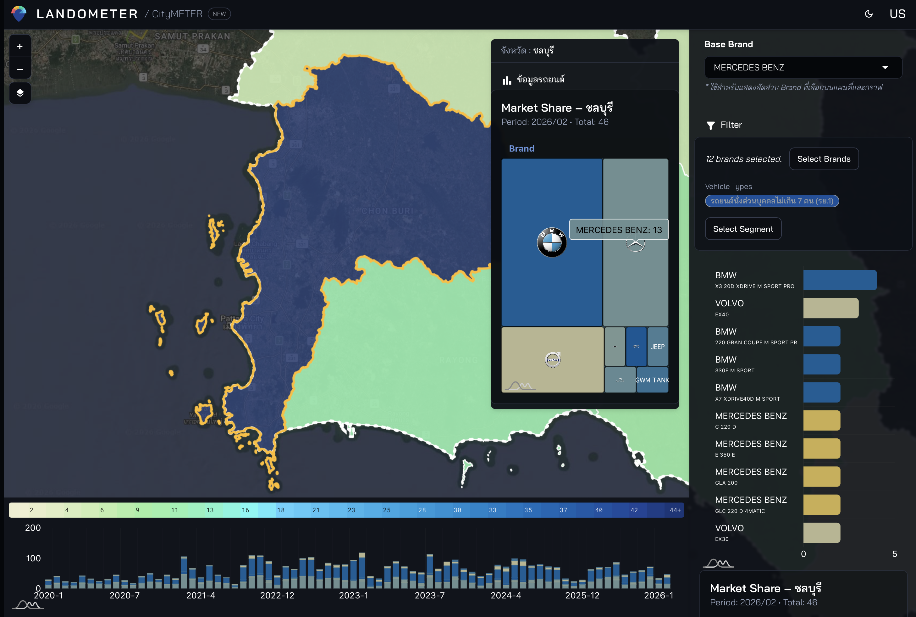
Use the same definitions, time window, and area boundary to separate location effects from differences in operations.
Compare branches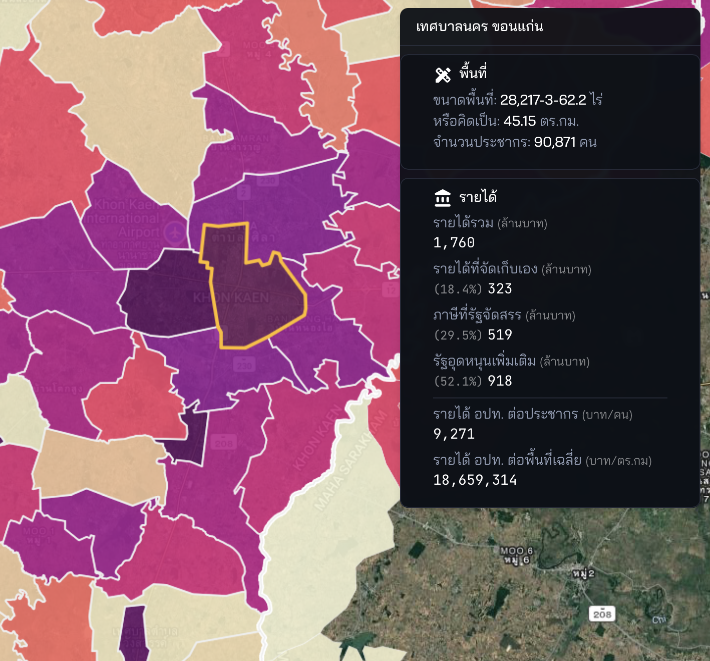
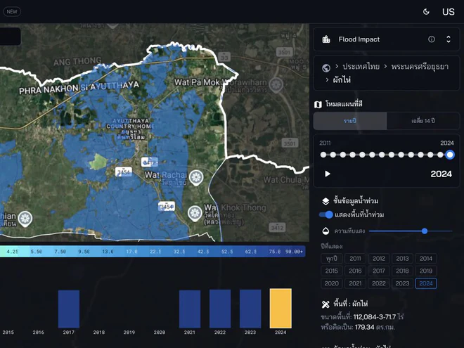
Connect an organisation’s own measures with location context to see which branches changed, where to ask next, and what to keep watching.
Track area results
Listen to market signals by place to understand how consumers perceive your brand and competitors whose service areas overlap, then turn those signals into questions that can be tested with evidence.
Read market signalsMove from “what is happening where?” to “what should we examine next, and where should we act?”
PRODUCTS AND SERVICES
Choose the path closest to your work and tell us what you are trying to decide. If none is an exact match, the Landometer team will reply to help identify whether data, a product, or a tailored collaboration is the better next step.
 Landometer
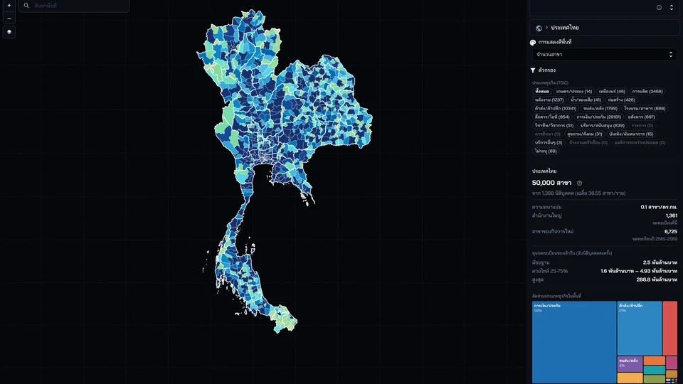
A fit when your decision depends on location, land, buildings, business activity, movement, people or risk — and your team needs to see those relationships in one map.
Explore and compare multiple dimensions of place data so you can frame the next question and decide what to verify.

A fit when your local-government team needs to see situations on a map, communicate with residents and begin improving city work with the people already in place.
CityChat connects place context with communication and a clear next step for the team.

A fit when you run a restaurant or café and want to turn a day-to-day business problem into a practical mission.
ijji helps diagnose the question, choose a mission, act and record the outcome.
 CityWiki
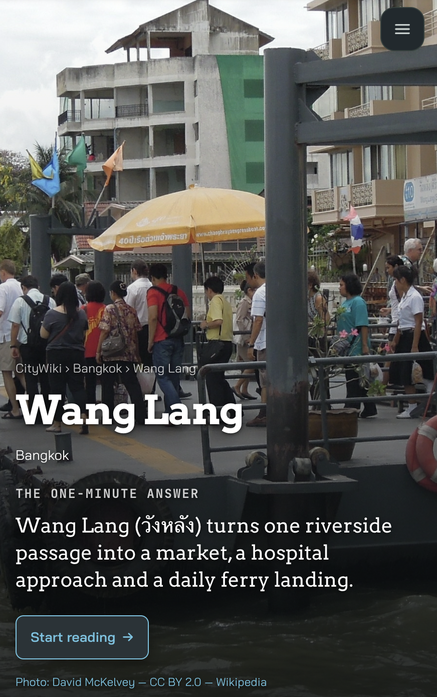
A fit when you want people to discover and understand a neighbourhood through stories that connect data with local context.
Turn place knowledge into public pages that are readable, shareable and easy to find.
 Land and property tools
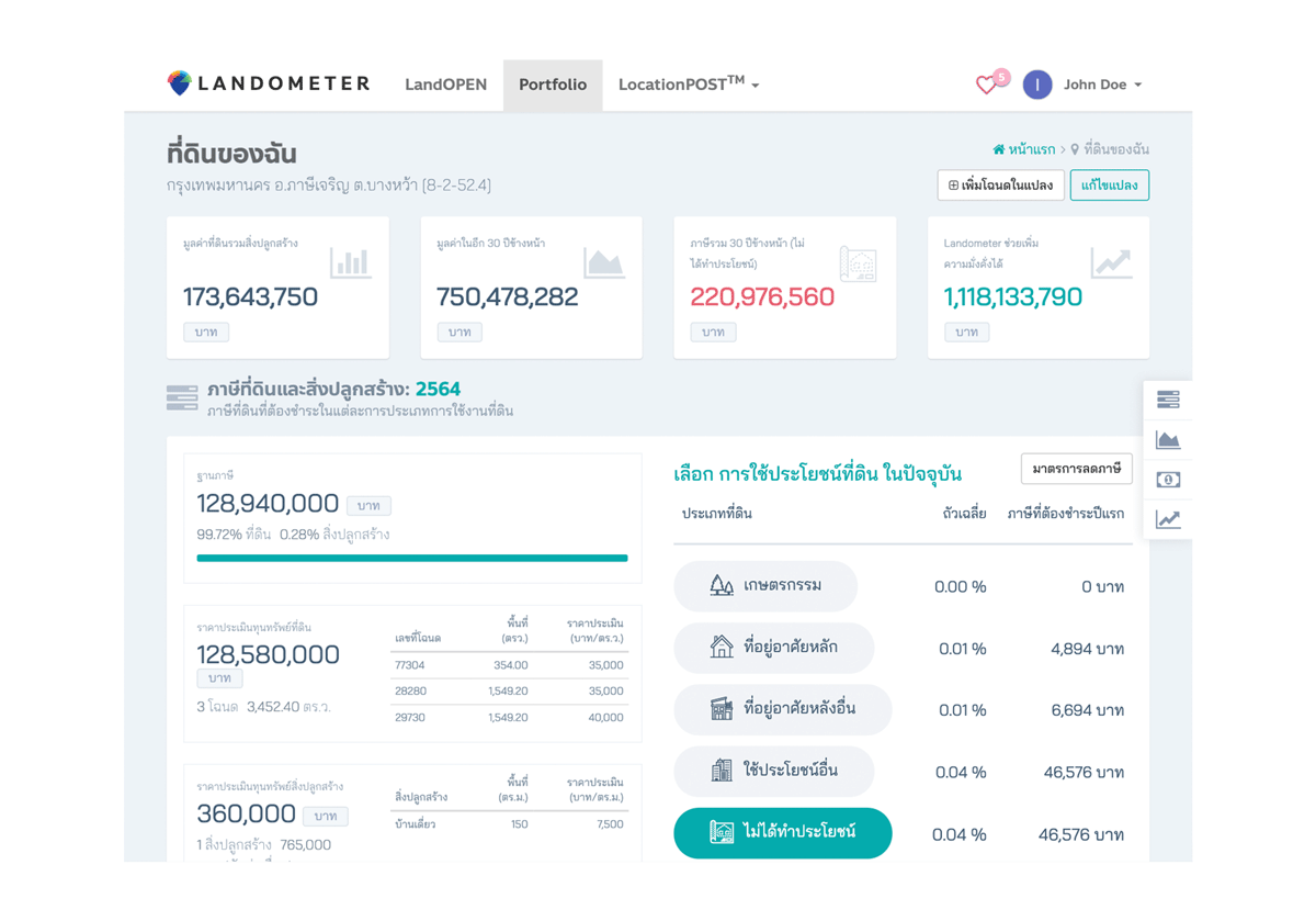
A fit when you manage land, a property portfolio or assets and need specialist workflows for property information, planning, tax, listings or lending.
Use focused tools to manage land, examine potential and continue the work around property and portfolios.
Use the previous and next buttons, or the left and right arrow keys, to browse. The testimonials repeat after either end.

ใช้งานง่าย รวบรวมข้อมูลหลายๆอย่างให้อยู่ในเว็บเดียว


ชอบมากค่ะ ใช้งานง่าย เราทำงานง่ายขึ้น ใช้เวลาน้อยลงมาก ในขณะที่ผลิตงานคุณภาพดีขึ้นมาก ทางทีม Landometer ยังพัฒนา app ทำให้มีฟีเจอร์ใหม่ๆ อยู่เสมอด้วยค่ะ


ธุรกิจพัฒนาบ้านจัดสรรและคอนโดอย่างเรา จำเป็นต้องสะสม Landbank ไว้พัฒนา Landometer.com ช่วยให้เราวางแผนการใช้งาน Landbank ได้มีประสิทธิภาพยิ่งขึ้น

Landometer.com เปิดโลกให้เราเห็นผลลัพธ์ของทุกความเป็นไปได้ ว่าจะถือครองที่ดินต่อ หรือนำไปทำอะไรจะได้ผลดีกว่ากัน ช่วยได้มากในยามที่มีประเด็นเรื่องภาษีที่ดินใหม่


พลอยมีที่ดินทั้งของบริษัท และของที่บ้าน พอได้ลองใช้ Portfolio ของ Landometer เห็นชัดเลย เพราะได้เปรียบเทียบที่ดินของเราทุกโฉนด ทั้งกระดานในคราวเดียว

ใช้งานได้ดีมาก ระบบหลังบ้านก็ให้คำแนะนำดี

ใช้งานง่าย รวบรวมข้อมูลหลายๆอย่างให้อยู่ในเว็บเดียว
ชอบมากค่ะ ใช้งานง่าย เราทำงานง่ายขึ้น ใช้เวลาน้อยลงมาก ในขณะที่ผลิตงานคุณภาพดีขึ้นมาก ทางทีม Landometer ยังพัฒนา app ทำให้มีฟีเจอร์ใหม่ๆ อยู่เสมอด้วยค่ะ
ธุรกิจพัฒนาบ้านจัดสรรและคอนโดอย่างเรา จำเป็นต้องสะสม Landbank ไว้พัฒนา Landometer.com ช่วยให้เราวางแผนการใช้งาน Landbank ได้มีประสิทธิภาพยิ่งขึ้น
Landometer.com เปิดโลกให้เราเห็นผลลัพธ์ของทุกความเป็นไปได้ ว่าจะถือครองที่ดินต่อ หรือนำไปทำอะไรจะได้ผลดีกว่ากัน ช่วยได้มากในยามที่มีประเด็นเรื่องภาษีที่ดินใหม่
พลอยมีที่ดินทั้งของบริษัท และของที่บ้าน พอได้ลองใช้ Portfolio ของ Landometer เห็นชัดเลย เพราะได้เปรียบเทียบที่ดินของเราทุกโฉนด ทั้งกระดานในคราวเดียว
ใช้งานได้ดีมาก ระบบหลังบ้านก็ให้คำแนะนำดี
ใช้งานง่าย รวบรวมข้อมูลหลายๆอย่างให้อยู่ในเว็บเดียว
ชอบมากค่ะ ใช้งานง่าย เราทำงานง่ายขึ้น ใช้เวลาน้อยลงมาก ในขณะที่ผลิตงานคุณภาพดีขึ้นมาก ทางทีม Landometer ยังพัฒนา app ทำให้มีฟีเจอร์ใหม่ๆ อยู่เสมอด้วยค่ะ
ธุรกิจพัฒนาบ้านจัดสรรและคอนโดอย่างเรา จำเป็นต้องสะสม Landbank ไว้พัฒนา Landometer.com ช่วยให้เราวางแผนการใช้งาน Landbank ได้มีประสิทธิภาพยิ่งขึ้น
Landometer.com เปิดโลกให้เราเห็นผลลัพธ์ของทุกความเป็นไปได้ ว่าจะถือครองที่ดินต่อ หรือนำไปทำอะไรจะได้ผลดีกว่ากัน ช่วยได้มากในยามที่มีประเด็นเรื่องภาษีที่ดินใหม่
พลอยมีที่ดินทั้งของบริษัท และของที่บ้าน พอได้ลองใช้ Portfolio ของ Landometer เห็นชัดเลย เพราะได้เปรียบเทียบที่ดินของเราทุกโฉนด ทั้งกระดานในคราวเดียว
ใช้งานได้ดีมาก ระบบหลังบ้านก็ให้คำแนะนำดี
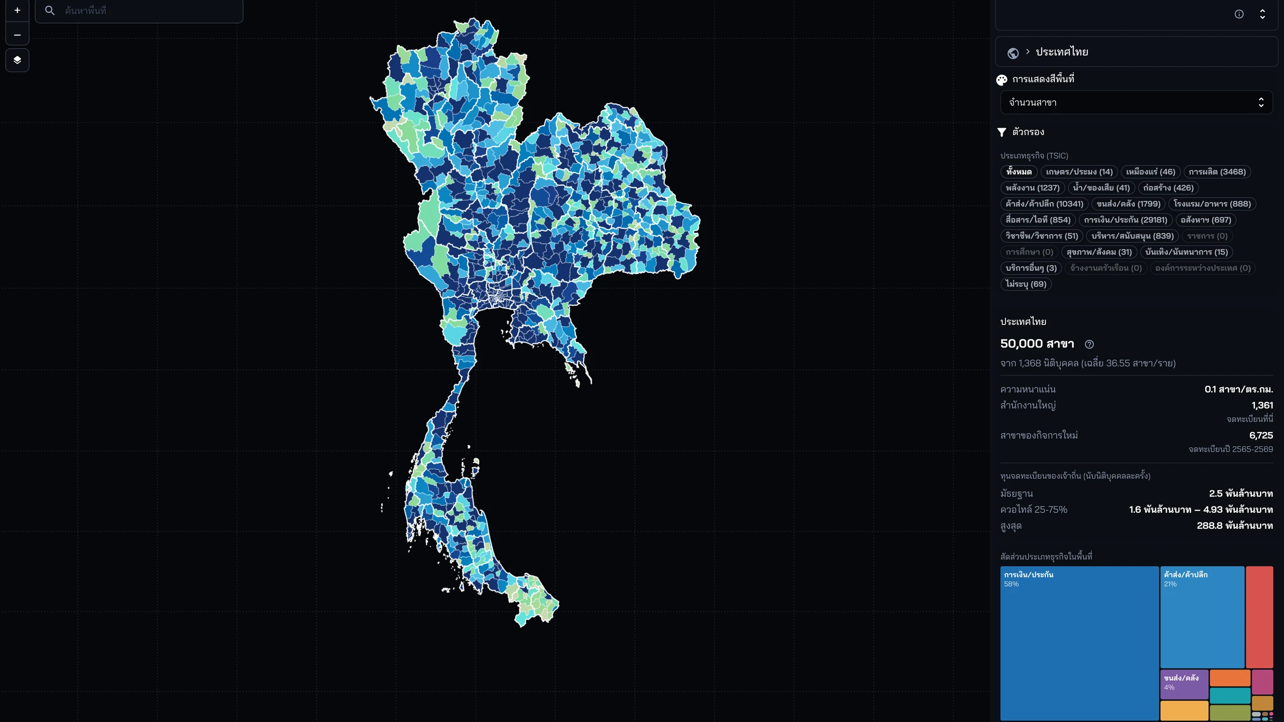
CityMETER · Showcases
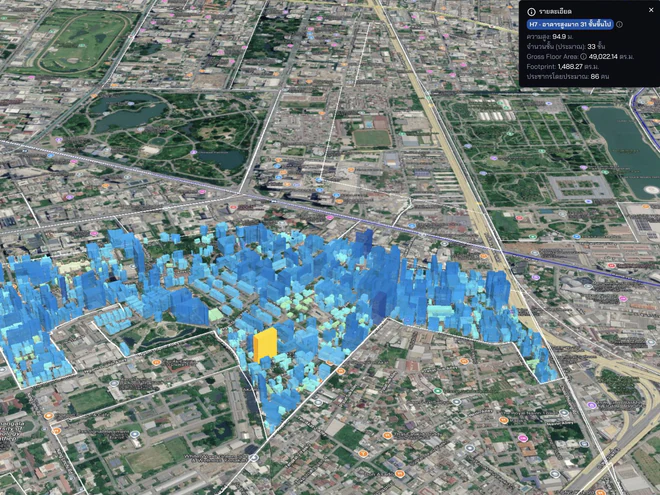
Explore the city through 38 views, from land value and buildings to business, people, movement, and risk.
38 views · 14 Aug 2026
CityWiki
Stories of neighbourhoods and places that connect CityMETER data with research and local context.
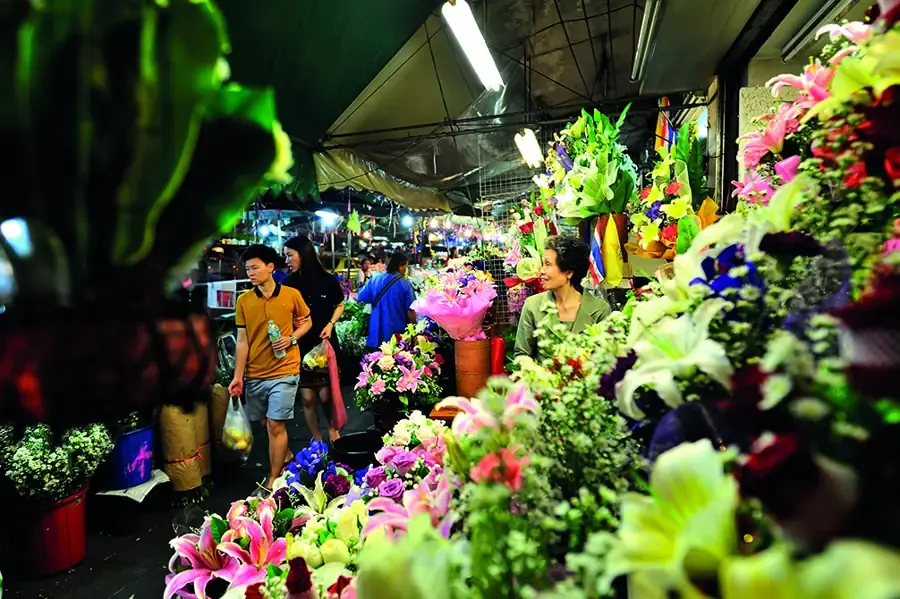
Where is Pak Khlong Talat on Google Maps? Opens in a new tab
Landom · The people
A multidisciplinary team that believes in data, imagination, and learning from real places.
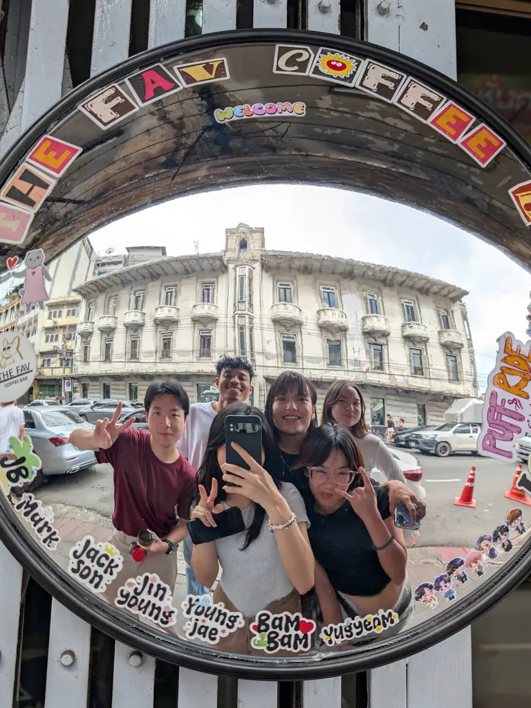
Our story
We measure what helps people see a place more clearly, explain why it matters, and turn understanding into a next step that can actually happen.
Landometer began with a simple question: why does an abundance of city data still fail to help people see the same place clearly? We started by connecting data back to real locations, then shaping images, language, and tools that help people in different roles understand the same question together — from land and location to everyday urban life.
Next, we are building Landometer into a City Data + AI ecosystem that turns scattered information into Locale Insight that is clear, verifiable, and ready to use. We want people to see choices and consequences before they decide, so each step can move a real place toward a more liveable future for everyone.
Let uscultivateour citywith data.
Follow what we are seeing, learning, and making with the city.